In the browser
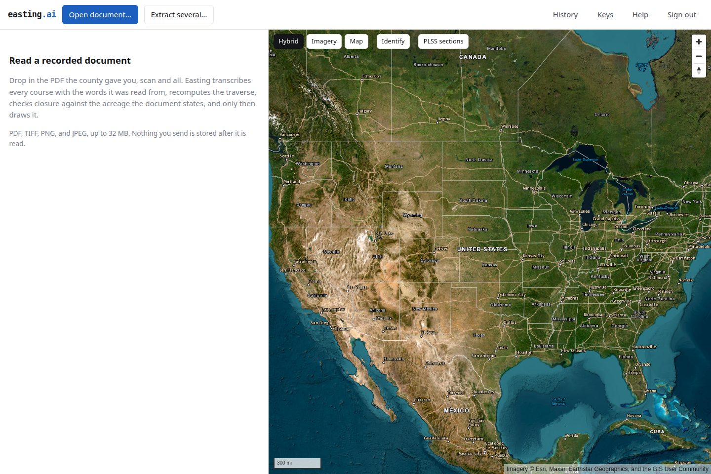
app.easting.ai needs no install. Sign in, open a recorded document, and you get the review panel: the verdict with its reasons, closure and area in the document’s own unit, and every course with the words it was read from.
What the browser adds
Section titled “What the browser adds”The map offers imagery with roads and place names, imagery alone, or a plain map, plus a PLSS sections overlay drawn from the same BLM survey fabric Easting checks aliquot descriptions against. Turn it on to see whether a tract that recites a section actually landed in it.
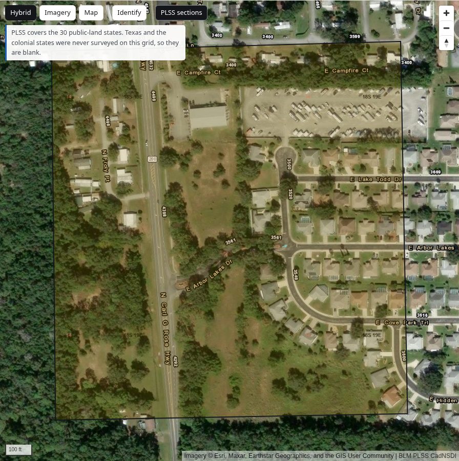
An Identify tool reports a placed tract’s attributes and the township and section under the click.
The grid covers the 30 public-land states. Texas and the colonial states were never surveyed that way and are blank, which is a fact about American survey history rather than a gap in the data.
Where to go next
Section titled “Where to go next”- Read a document, start to finish
- Review the extraction, which reads the same on every surface
- Place and export
What is the same as QGIS
Section titled “What is the same as QGIS”Almost everything worth documenting. Placement takes a click for the point of beginning and a slider for rotation, tracts sharing a commencement monument place as a group, and aliquot descriptions land on their own because the survey fabric already locates them. Certificate, DXF and GeoPackage all download from the browser, byte for byte the files the plugin saves.
It is the same account and the same quota, so a document read here bills exactly as one read in QGIS.